Join State of the Map SEE
State of the Map Southeast Europe is a three-day conference which brings together stakeholders in the OpenStreetMap and Geographic Information Systems (GIS) ecosystem.
Mappers, software developers, academicians, NGOs, business leaders and users of OpenStreetMap from Southeastern Europe countries will come together to create opportunities for knowledge exchange, networking and partnerships.
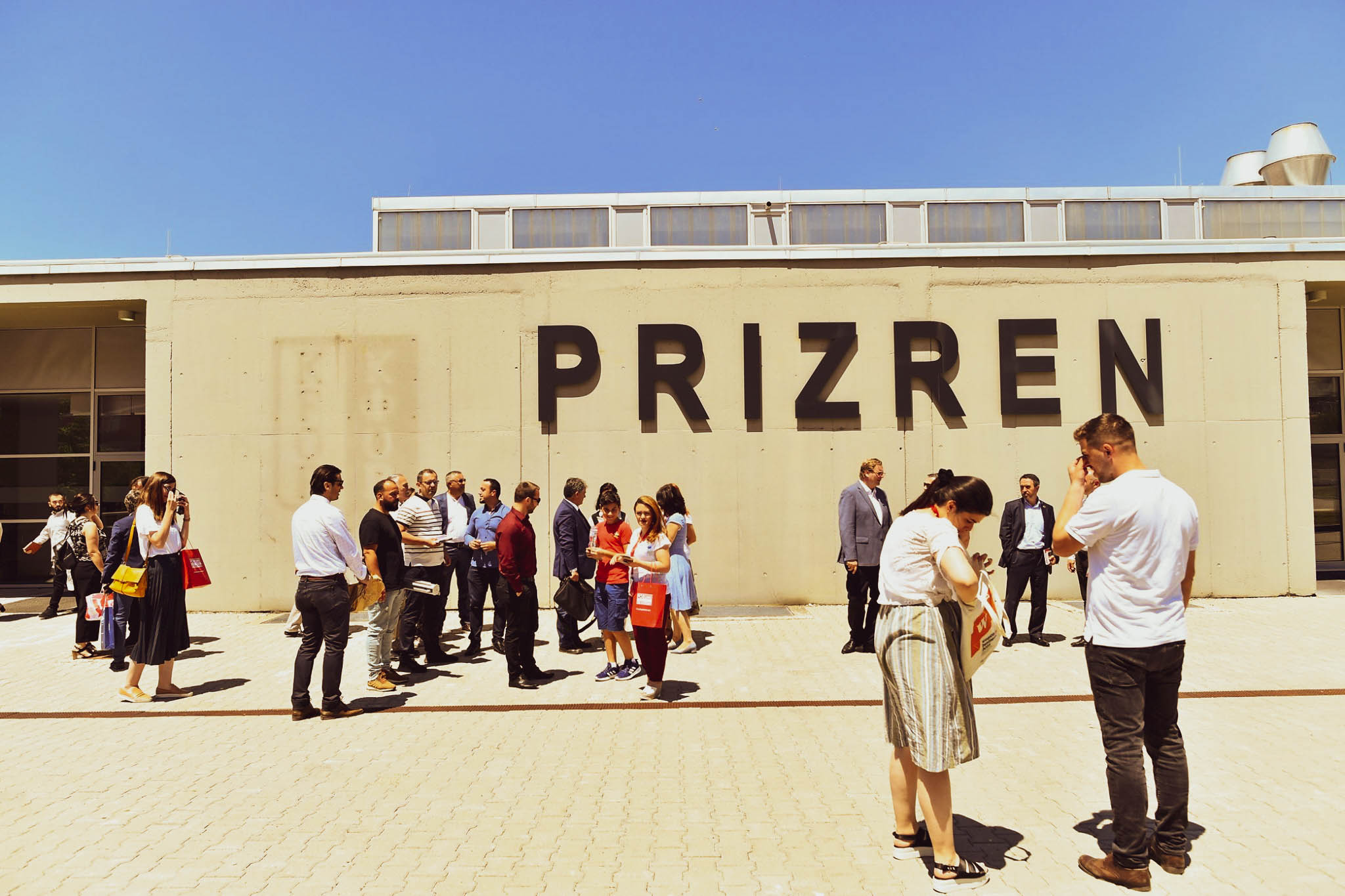
We have chosen Prizren for this year’s conference, Kosovo’s cultural capital, with a long history of serving as a meeting point of communities who share the same values in terms of culture and religious tolerance.
Topics
Topics from OpenStreetMap, Geographic Information Systems and underlying technologies.
Keynote Speakers
Just below
Conference Language
The conference is held in English.
SPEAKERS

Schuyler Erle
Guillaume Rischard
Vasile Craciunescu
GEO-SPATIAL.ORG Association
Ilya Zverev
Juno Lab
Felix Delattre
Humanitarian OpenStreetMap Team

Jonathan Beliën
OpenStreetMap Belgium

Quincy Morgan
iD Editor
Tõnis Kärdi
LonLat OÜ, OSGeo
Thomas Skowron
Till Adams
terrestris, mundialis, OSGeo, OSGeo Europe, FOSSGIS, OpenStreetMap

Jo Polyglot
OpenStreetMap Belgium
Nemanja Bračko
Microsoft
Sidorela Uku
Open Labs Hackerspace

Amanti Lulo
Maptime Tirana
Branko Kokanovic
Boris Budini
Collective68
Angjelina Dervishaj
Municipality of Tirana
Genc Salja
Municipality of Tirana
Seán Lynch
OpenLitterMap
Danijel Schorlemmer
German Research Centre for Geosciences
Lloyd Emelle
Code for Philly, Code for America

Jeton Ahmetaj
FLOSSK
Ovidiu Voda
Mapillary

Octavian Borcan
HERE Technologies
PROGRAM
Keynote: Who cares about Community? Or: Why data and tools for maps should be Free
Geodata and GI-Software offer great economic potential, not only for those who develop solutions, but also for the society that benefits from these solutions. The base for Free Data and Software is the community that forms around it. Many examples show how lively communities send signals, which in turn ensure growth and a further heterogenization of the community itself and evokes impulses for the perception and use and thus makes those, who still hold hands over data or code contemplative.
55 min
Main Room
Till Adams
Till is one of the founders of the German language FOSSGIS conference series and joined his first OSGeo Conference in Minneapolis in 2005 before it was even called FOSS4G. Till also put a lot of effort into building the local and regional community and helped form FOSSGIS e.V., the legal body of the German language […]
Turn right after the red house? How open data and OSM changes directions in Kosovo
Kosovo recently gave itself street names and addresses. A look at how OpenStreetMap helps driving their usage, at how the community received and processed open data, and at what's next.
25
Main Room
Guillaume Rischard
Guillaume is a data consultant and open data advocate from Luxembourg. He’s been actively mapping all over the world since 2011. He was instrumental in getting some of Kosovo’s geographical information released for OpenStreetMap, and helped make the data useable by mappers. He is one of the creators of the Luxembourg open data portal, and […]
https://stereo.luWhy (and how to) switch to OpenStreetMap ?
Almost everyone use nowadays maps on a daily basis ; it could be with an app on your phone or online. Most of the people use Google Maps (or other solutions from big companies) but I'll (try to) convince you that it's easy to use OpenStreetMap but also why OpenStreetMap is a better option when it comes to maps, not only for your website but also for your daily life (app of your phone, navigation, ...).
25
Main Room
Jonathan Beliën
Jonathan is a developer with a 15+ years of experience in web development and GIS (Geographic Information System). He supports the open-source movement by now using, developing and promoting open-source solutions and open-data in the company he works for, to his customers (private and governmental) but also more widely by joining the board of OpenStreetMap […]
https://jbelien.be/Crowd-sourced open geographic data for humanitarian action
The OpenStreetMap project is the largest database of freely usable geoinformation. The project has allowed over a million people to jointly create a worldwide digital map. It can also be used to map particularly vulnerable places and the data is extensively used by aid organisations and government agencies. This talk gives an insight about how humanitarian organizations use OpenStreetMap for the good.
25
Main Room
Felix Delattre
Felix Delattre is an information technologist, software architect and development project manager with a passion for geographic information science. His focus is on innovation through participation, open data and free technologies. He works as a Technical Projects Manager for the Humanitarian OpenStreetMap Team.
https://hotosm.orgUsage of geospatial technology in the Municipality of Tirana
This talk will present methods used to implement municipal data and GIS components used for the creation of GIS system. The different layers used and the technical challenges we faced.
25
Main Room
Genc Salja
Phd.Cand.Eng. Genc SALJA: Born in Shkodra, 1989. Lives in Tirana. Completed studies in Geodetic Engineering in 2012. He started PhD studies in 2014. His work experience includes: Geodetic engineer in the private sector, GIS Expert for an EU Project, Freelancer for TomTom; Guest Lecturer at the Polytechnic University of Tirana; Specialist in the GIS Sector […]
OpenStreetMap good practices
25
Main Room
Sidorela Uku
Sidorela has studied Computer Engineering. She is a open source user and advocate and also contributes to various FOSS projects like OpenStreetMap, LibreOffice and Wikimedia. She is a board member of Open Labs Hackerspace, a community promoting the idea of free open source technologies, online privacy and open data in Tirana, Albania. Also co-organizer of […]
Workshop: Interactive web maps in the cloud with HERE XYZ
Learn how HERE XYZ can help with storage and management of geo data, introducing techniques and tools for interactive filtering and visualization.
90
Workshop Room
Octavian Borcan
Octavian is Sr. Data Acquisition&Community Lead at HERE Technologies, Bucharest office (Romania), a digital mapping company, setting a new course for location technology. He has a strong background in the GIS&IT field, working on multiple projects at regional and international level. Interested in promoting GIS, open data sources/software and technologies.
http://here.com13:30
Lunch
90
Foyer
15:00
OpenStreetMapS
As we are told, OpenStreetMap is a single global map of the world, editable by anyone and usable anywhere. Mapper in Tanzania has as much say as a mapper in Germany. Cycleways in Philippines can be rendered the same as cycleways in UK. One map to rule them all. Turns out, not so much. Being that big, OSM is not the same for different countries. We have not one, but a hundred slightly varying maps: here you have different road classification, there you don't use landuse=forest. Communities are split by languages and territories. Users mapping with JOSM sometimes mock iD users, and vice versa. You cannot build a map of, say, major roads without understanding specifics of every country on the map. Let's see how mapping rules and communities differ across the world, and what would you need for your map-based service to be viable globally.
25
Main Room
Ilya Zverev
Ilya has been deeply interested in OpenStreetMap since 2010. He tried everything: mapped a lot, proposed tagging schemas, edited a blog and a telegram channel, made two podcasts, organized mapping parties and conferences, wrote JOSM plugins, API tools, editors, geocoders, and various maps. He briefly served on the OSMF Board, made the OSM Awards, and […]
http://ilya.zverev.info15:00
Workshop: Cartography
I will teach how to use blender to create astonishing shaded relief maps.
55
Workshop Room
Amanti Lulo
Amanti is the founder of the local chapter of Maptime in Tirana and has a passion for contributing to OpenStreetMap, mainly by adding data that no one knows they need… yet.
https://harta.xyzHow OpenStreetMap and Municipality can benefit each other
During this session Angjelina will talk how municipalities and OSM can benefit each other. The main goal of this talk will be on one hand to explain how municipalities can use data they get from OpenStreetMap for their internal institutional needs or to build citizen-centric services, and on the other hand to explain how (and why) municipalities should contribute in improvement of OSM.
25
Main Room
Angjelina Dervishaj
Angjelina has a degree in Geoinformatics. She is an OSM contributor spending a lot of time to improve the local maps. Currently working for the city of Tirana as an IT specialist. The first research paper she has worked on was “Some Mapping Specifications in the Mining Region of Krasta” which was first introduced in […]
Stepping into Open Source: One Year on iD
At this time last year Quincy Morgan was working at Esri while independently contributing code to iD, the opensource JavaScript editor for OpenStreetMap. A few months later he accepted a full-time position working on the project. In this talk Quincy will present insights from his first year with iD: the process of transitioning from a volunteer to a paid maintainer, the unique challenges of opensource development, strategies for having an effective voice in the community, and the joy of working on your passion.
25
Main Room
Quincy Morgan
Quincy co-maintains the iD Editor for OpenStreetMap. After earning a degree in Geography, releasing his own Swift apps, and working briefly at Esri, he was lucky enough to turn his iD contributions into a full-time paid position in open source. He’s currently traveling while working on UI enhancements for iD aimed at making mapping even […]
Earthquakes and OpenStreetMap
Earthquakes are threatening a large number of regions worldwide with an increasing risk due to urbanization and industrialization. For resilience and mitigation measures it is necessary to understand this risk to society and their assets. We present the main pillars of earthquake hazard models describing the physical shaking of earthquakes and the OpenStreetMap-based exposure model translating the local shaking into probabilistic loss and risk assessments expressed as effects on buildings and people.
25
Main Room
Danijel Schorlemmer
Danijel Schorlemmer is a seismologist working at the German Research Centre for Geosciences. His main research interests are the statistics of earthquakes and earthquake hazard and risk. In the framework of several EU-funded research projects, he is working on classifying every building in Europe in terms of its earthquake vulnerability, reconstruction value, and the number […]
19:00
Dinner
20:30
Mess Hall
Keynote: The story of geo-spatial.org, the reference point of the Romanian geospatial community
geo-spatial.org is a web portal that contains articles, tutorials and data from geospatial domains of expertise such as: digital cartography, historical cartography, neogeography, virtual terrain modeling, remote sensing, geographical informational systems and global positioning systems. The site was launched in 2007 as a response to the need of communication of a newly born but growing community. geo-spatial.org promotes large scale usage of open source solutions, without ignoring the proprietary ones. It militates for open access to geographical data and it puts forth the map as a universal instrument for communication and recording the relationships between social components (scientific, political, cultural, religious, economical) and their geospatial dimension. The portal is associated with a forum and a mailing list with over 900 members. The main purpose is to become the reference point for the Romanian speaking geo professionals, through the coagulation of an active community that would professionally progress through sharing the knowledge, contributing in the same time to the breeding of the next generation of geospatial specialists.
55
Main Room
Vasile Craciunescu
Vasile Craciunescu is a researcher with more than 17 years experience, working for the Romanian National Meteorological Administration being in charge with the scientific and operational activities related to rapid mapping, air quality data integration, spatial data infrastructure and web-mapping. He received his diploma in cartography and physical geography in 2001. He has a good […]
Assisted Intelligence – How we map with new technologies
Deep learning methods for feature extraction using computer vision are giving concrete results. This talk provides an overview of how feature detection from satellite imagery can provide a seamless experience for mappers in OpenStreetMap. Over the last year the Humanitarian OpenStreetMap Team facilitated an initiative to test using data derived using machine learning models to improve coordination of groups of mappers, quality of edits and overall experience when mapping in OpenStreetMap. During the talk the concrete results are shown and you will obtain a good idea about the state of machine learning data and tools around OpenStreetMap.
25
Main Room
Felix Delattre
Felix Delattre is an information technologist, software architect and development project manager with a passion for geographic information science. His focus is on innovation through participation, open data and free technologies. He works as a Technical Projects Manager for the Humanitarian OpenStreetMap Team.
https://hotosm.orgThe roadmap of OSM Albania
OpenStreetMap as a community started in 2012 , before that there were just a few edits, mostly the main road and city names on the map. Gradually more people got involved in the project and also created a community at the local hackerspace, hosting mapathons and presentations. On this presentation I will present work done by Albanian OSM community, the progress so far, some tips on hosting activities and mapathons and further plans to improve the map.
25
Main Room
Sidorela Uku
Sidorela has studied Computer Engineering. She is a open source user and advocate and also contributes to various FOSS projects like OpenStreetMap, LibreOffice and Wikimedia. She is a board member of Open Labs Hackerspace, a community promoting the idea of free open source technologies, online privacy and open data in Tirana, Albania. Also co-organizer of […]
11:30
Introducing CityZenApp
CityZen is an open source Android app that helps you navigate and explore your city easily. With CityZen you find points of interest near you. The app shows these POIs based on the location of your smartphone, but it does so by respecting your privacy since we don’t keep your navigation data. If you are an OpenStreetMap contributor you can easily add information to the POIs by editing them inside CityZen.
25
Main Room
Boris Budini
Your neighborhood friendly sysadmin. Using open source tools to make sure servers behave better than humans. Joined the Albanian Hackerspace Open Labs in 2014. Ever since, he was blown away from the idea of sharing for the greater good, which then became one of his core morals and has been contributing to various open source […]
http://boris.budini.xyzRoad to success via SignPosts (remote presentation)
We all use GPS navigation almost blindly and in the process we tend to ignore the signposts. But what if you are driving through complicated motorway junctions and you lose the signal because of tunnels and overpasses? What would you follow? The answer is destination signposts because that way you can see which motorway exits and directions have to be followed. Gaps in OSM are huge. Some ultra-important routes may have that information, but many others don’t have destination signposts at all. MICROSOFT open maps team Is focused on adding missing information to OSM and one of the tools used is CheckAutopista2 which is a QA tool for motorways in OpenStreetMap. This tool helps indicate potential and real junctions where reference numbers and/or destination signposts are missing. Please join us to learn more about our tools and our journey that we have undertaken on our road to success. We will share our learning to help everyone build top quality maps.
25
Main Room
Nemanja Bračko
Experienced Geographic Information System Specialist with a demonstrated history of working for various geo services. Very first edit in OSM was made in 2009, and since then he was involved in editing in many countries which include: Serbia, Croatia, Australia, Belarus, UK, US and many other.
https://www.microsoft.com/OpenLitterMap (remote presentation)
Plastic pollution is a global epidemic that requires innovative solutions. Although plastic pollution has a significant & permanent impact on the marine environment, where plastic is entering the oceans, how it moves across space and time or what impact this has on biodiversity or human health is largely unknown. Data and funding to address this global epidemic is basically non-existent however we are at a turning point as never before was it possible to involve huge numbers of people in data collection. To incentivize the most rapid production of global open data the world has ever seen, OpenLitterMap applies blockchain proof-of-work mining principles to the production of geographic information for the first time and rewards users with Littercoin for doing the work of citizen science. What impact this has on policy, public expenditure or legal accountability has yet to be determined but the data is open and you are needed to become a pioneer.
25
Main Room
Seán Lynch
Seán Lynch is the founder and developer of OpenLitterMap. After being introduced to OpenStreetMap, he decided to apply the same principles of crowdsourcing and open data to plastic pollution. After two MSc, he began teaching himself how to code and now works online as a software developer and continues to work on OpenLitterMap by night. […]
https://openlittermap.comSqueezing last bit of data from government provided open datasets
Serbian government is providing limited set of open data. We have to work with what we got there. This talk will present what we did on example of "apartments" dataset. Learn how we "hack" that dataset to infer as much as possible from it in most "creative" ways and how we squeezed last bit (no pun intended) of information out of it. All that data is used now to improve OSM.
10
Main Room
Branko Kokanovic
Born in 1983. and living in Belgrade, Serbia. Since first introduction with Slackware in 2001, fascinated by free and libre software. Writing FOSS is sometimes not enough, so local Wikipedia projects followed. One thing led to another and he got to OSM (2009). Main theme of his contributions to OSM are around fixing and improving […]
https://kokanovic.org/13:45
Closing
15
Main Room
15:00
Prizren Tour
18:00
Prizren
beginner
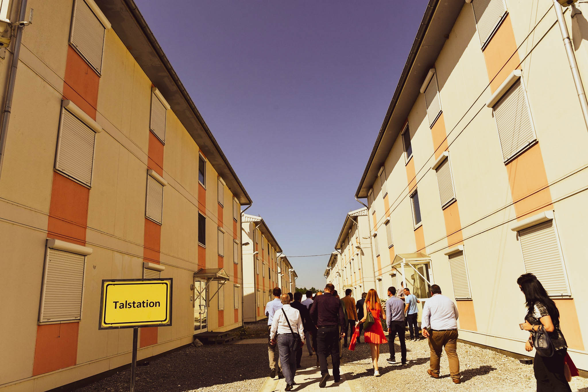
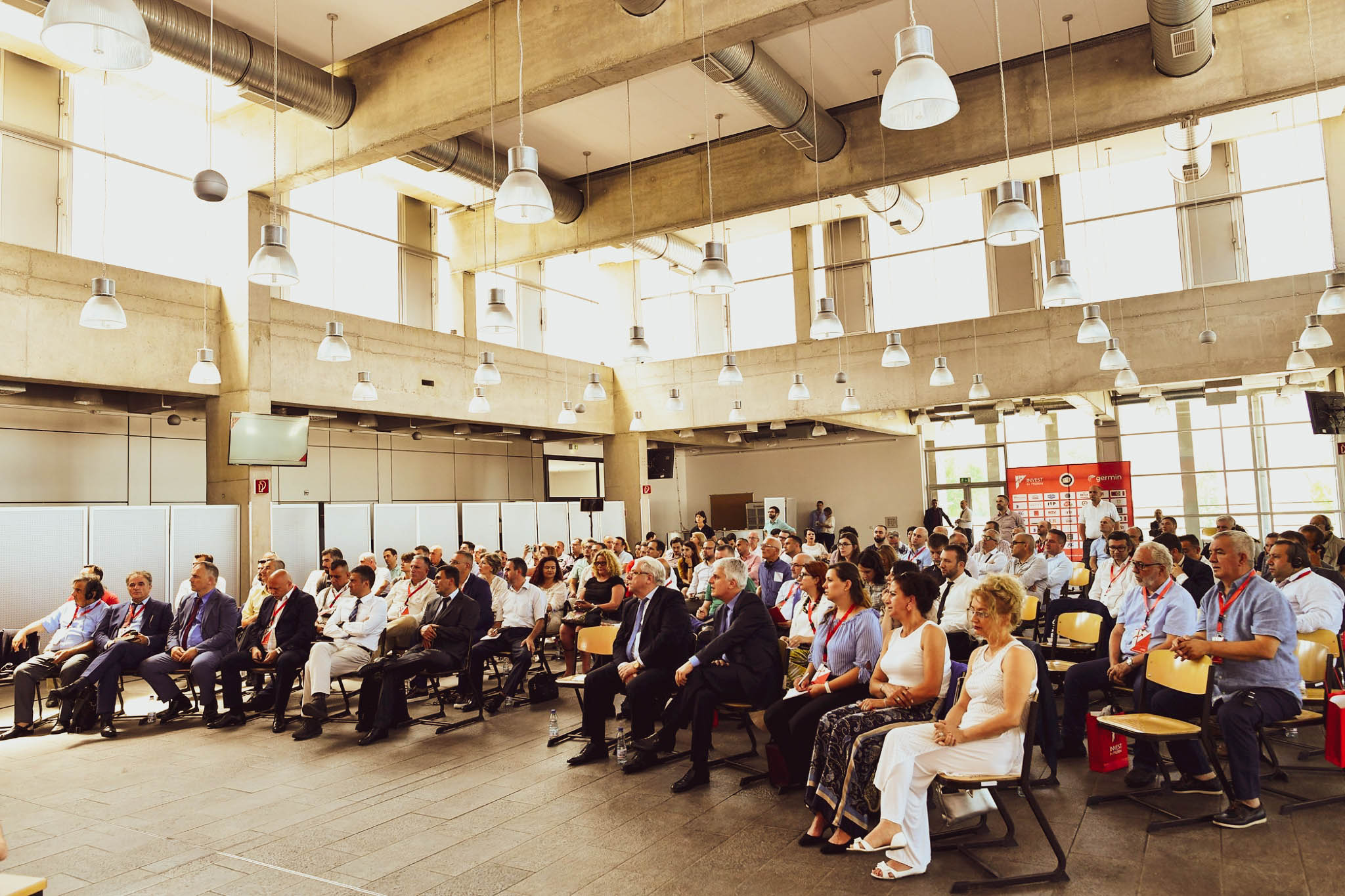
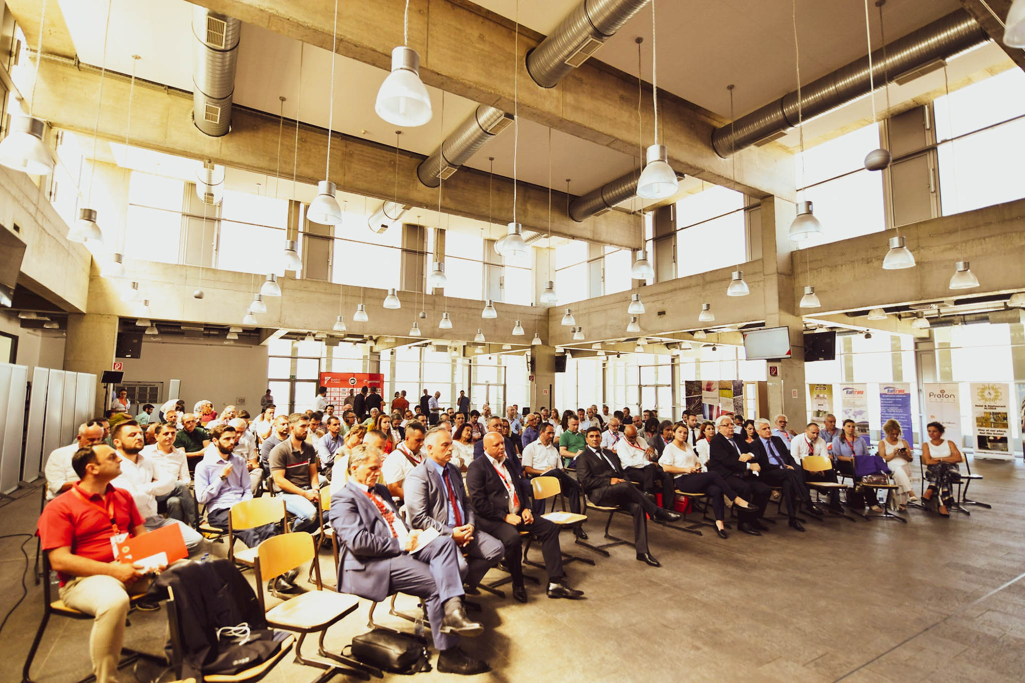
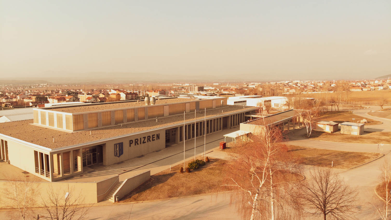
VENUE
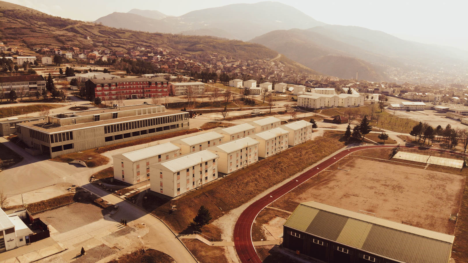
The Innovation and Training Park is a former military camp, in the outskirts of the beautiful city of Prizren.
The ITP is far more than a classic business park. The ITP ensures close linkages among tenants as well as between park management and tenants, offering an environment that fosters synergies between the private sector, vocational education and training institutions, and innovation activities.
Prizren, Kosovo
+383 44 233 967
[email protected]

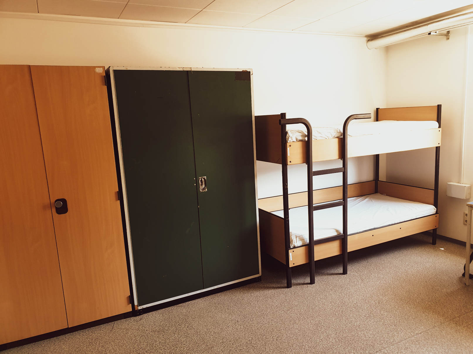
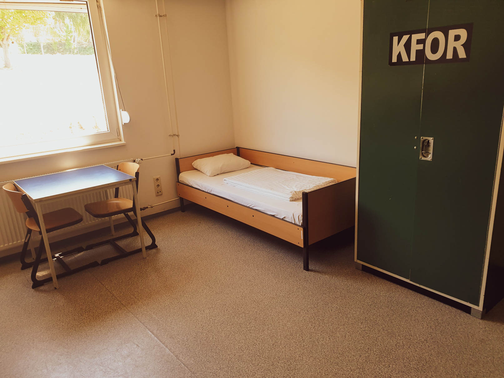
Accommodation
Innovation and Training Park
Pre-existing infrastructure at ITP gives the possibility to provide accommodation on site (20 minutes walking distance from city center) for larger groups as well as for people taking part in any kind of activities within the area.
*Accommodation is free for all participants.
If you wish to sleep in the city center prices may vary from 10 euro in a hostel up to 70 euro per night at any hotel.
Innovation and Training Park
Innovation and Training Park
Innovation and Training Park
SOME DAY TICKETS STILL AVAILABLE
Check your email (and spam) for invitations and confirm your participation. Attendee registration is free and includes sleeping, meals and organized transport* from Tirana, Skopje, Podgorica and Belgrade for those invited.
In addition, we have made available some more day tickets only which do not include meals and sleeping.
*Transport is covered for limited number of participants.
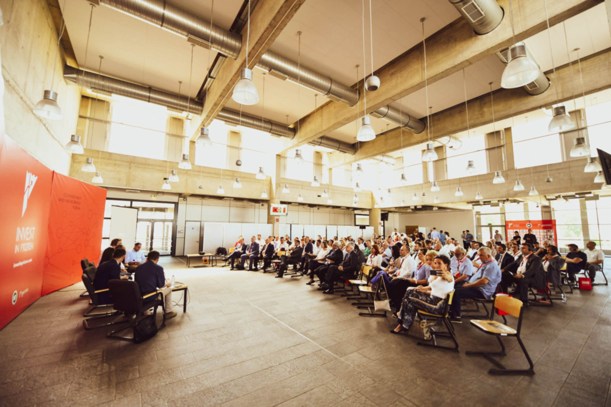
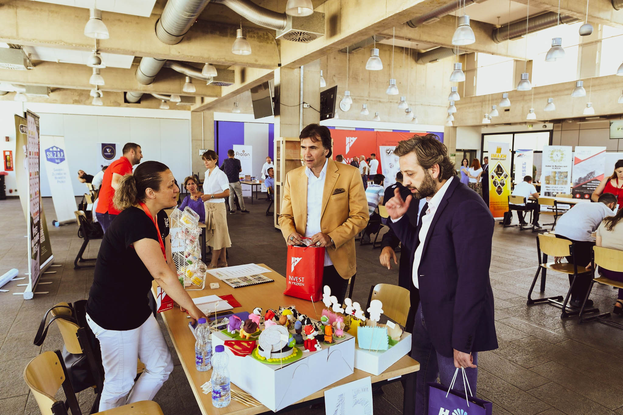
GALLERY


SPONSORS
This conference would be impossible without our sponsors.